

It may be a surprise to some, but Connecticut’s capital city is an international one – steadily becoming a magnet for people from nations throughout the world.
Those expanding demographics – and the increasingly inter-reliant world in which we live – are the driving force in an effort to spur conversations in Hartford and across the state, and improve global awareness. A vigorous initiative — Maps for All — urges residents to “see the world in public places.” It was launched last month to coincide with National Geography Awareness Week, but has ambitions that extend further.
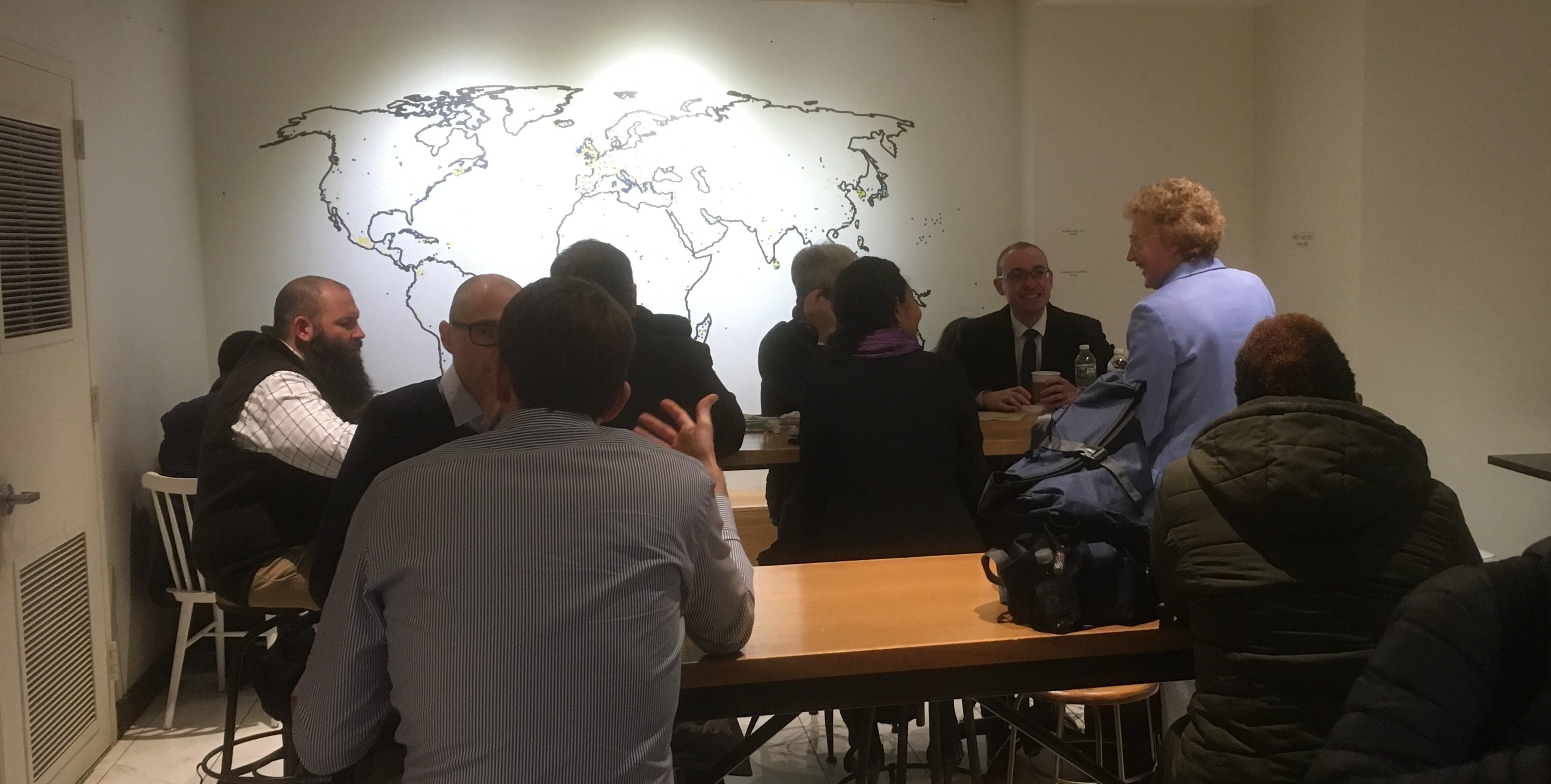
The aim of Maps for All is to promote greater awareness and understanding of the impact and influences of places around the world, and how they connect here, close to home. It envisions world maps of various designs sprinkled throughout the city, region and state.
At the heart of the effort is a request to businesses and organizations to post maps of the world – ranging from original one-of-a-kind designs by local artists to traditional maps of the type that have been seen in classrooms for generations.
The more creative of the world maps, it is hoped, will generate conversation and social media buzz, encouraging patrons of businesses, restaurants, office towers and community centers to share stories of their origins, their international business markets, and what’s been in the news -– all of which should encourage global awareness across generations.
Leading the Maps for All initiative is Connecticut educator and philanthropist Louise Earle Loomis, EdD., who conceived of the idea and pitched it to the World Affairs Council of Connecticut, which in turn enthusiastically endorsed it. Loomis then organized a committee of volunteers who have worked to build interest and enlist partner organizations. Words of encouragement have already been voiced by the MetroHartford Alliance, Hartford Mayor’s Office and Commission on Cultural Affairs, and the Greater Hartford Arts Council.
Picture this: world maps, some of latitudinal and longitudinal accuracy, others with artistic flourish enhancing décor, as a conversation starter. The geographic literacy of employees and customers is enhanced in the process. The state’s international business connections reverberate, as scores of local companies use customer-facing maps to highlight their global networks, letting people know how connected we truly are to events and opportunities worldwide.
Imagine, for example, a map designed and created by a local artist and tailor-made for a specific location or business that highlights not only the relevant geography, but a willingness to support the arts in our community. Perhaps a local restaurant or refurbished office lobby could include such a map – perfect for selfies and making connections between the delicious food being served and the nation of origin, or services offered by businesses and nations where exports are headed.
Consider also the schools and libraries, among other locations, that need only take world maps out of the storage closet and post them – or purchase up-to-date versions that include countries that didn’t exist years ago, yet may be in the news tomorrow.
More than 730 global companies have subsidiaries in Connecticut, and in 2018, Connecticut exported a record $17.4 billion of Made-in-America goods. One in six workers in Connecticut is an immigrant. Foreign investment was responsible for 7.1% of the state’s total private-industry employment in 2015, the most recent data available.
At the start of this century, according to the U.S. Census, the ancestries of origin most common in Connecticut were Italian, Irish, English, German and Polish. Two decades later, the 2020 Census is likely to provide a glimpse into the state’s changing – and more varied – demographics. The scores of languages frequently heard in Hartford’s neighborhoods – and across the state – provide a preview of the data to come.
A 2014 demographic report for the City of Hartford by APB Associates, Inc. determined that only 60% of Hartford residents were born in the U.S. The recent arrivals “literally come from around the world” — representing “a majority of United Nations member countries.”
As Loomis recently pointed out, “There is a tremendous opportunity to include world maps in our visual environment, to encourage greater awareness of the globalism that increasingly impacts our lives, and to provide new methods for individual global education.”
We have an opportunity to supplant the decades-old notion of Gateway to New England with a vibrant, more expansive, updated version. Maps for All is the perfect show-and-tell – emphasizing where we’ve been, where we’re going, and how to get there.
Bernard L. Kavaler is managing principal of Express Strategies, a Connecticut public relations firm, and a volunteer member of the Maps for All organizing committee.